





KRUGER SUR · RÍO SABIE · VIDA SALVAJE / SOUTHERN KRUGER · SABIE RIVER
Lower Sabie Where the great river brings wildlife together
Hippos, elephants, big cats, waterbirds and golden mornings on the Sabie River. Discover the photogenic south of Kruger from an extraordinary riverside base.
Lower Sabie: where Kruger wildlife gathers around water.
Lower Sabie lies in southeastern Kruger beside the Sabie River, one of its perennial watercourses. The riverfront viewpoint and nearby Sunset Dam reward patient watching: not every sighting requires a long drive.
SANParks notes lions, leopards, elephants, buffalo, hippos and abundant birdlife in the wider area. Sightings are not constant: water, vegetation, time of day and chance all matter.
Combine two or three short drives with lengthy observation stops instead of rushing. SANParks places Sunset Dam approximately one kilometre from camp.

What to see and enjoy around Lower Sabie
Ten curated experiences: the river camp, Sunset Dam, H4-1 and H4-2 roads, wetlands, picnic stops, birds and guided drives.
 Riverside base camp
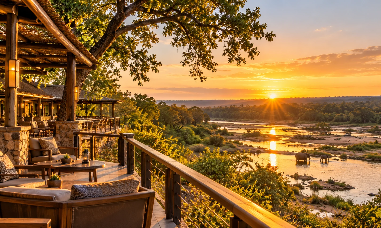
Lower Sabie Rest Camp
Wake up overlooking the Sabie RiverA main Kruger rest camp above the Sabie River: accommodation, camping, restaurant, shop, fuel, pool and day-visitor area. Its large fig trees attract birds; remain within permitted areas.
📷 Look for backlit wildlife from authorised terraces; never approach the riverbank.
 ≈ 1 km from camp
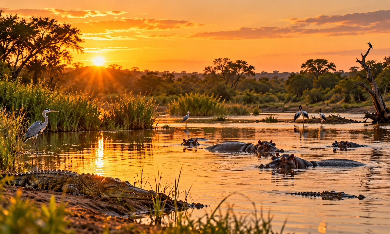
Sunset Dam
A natural theatre of hippos and waterbirdsA waterbody very close to camp, highlighted by SANParks for aquatic birds. Watch for hippos, crocodiles and kingfishers; animals may be hidden or absent.
📷 Soft sidelight and reflections; stay in your vehicle wherever stopping on foot is not authorised.
 30–90 min break
Sabie River viewing area
A window onto the river ecosystemFrom safe camp viewing areas, spend time scanning birds and visiting mammals along the river. Wildlife varies with water levels and season.
📷 Use a long lens and, where allowed, a tripod; capture river panoramas at sunrise.
 Scenic western game drive
H4-1 · Lower Sabie–Skukuza
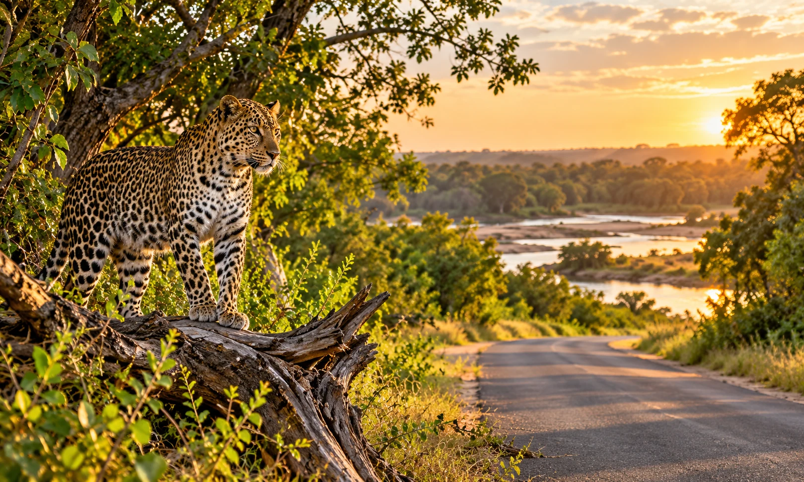
River corridors and elusive big catsThe tar road toward Skukuza follows the Sabie landscape. Trees, clearings and water crossings offer chances to see grazers, elephants and predators—never guaranteed.
📷 Scan branches and shaded spots from the car; do not block the road when stopping.
 Southbound wildlife route
H4-2 · Lower Sabie–Crocodile Bridge
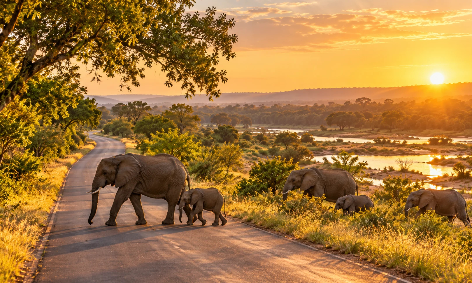
Riverine vegetation and southern herdsTar road toward Crocodile Bridge. It alternates thickets, clearings and watercourses where elephants, buffalo, giraffe and carnivores may be seen.
📷 Take time at crossings and allow a generous buffer for the park gate.
 ≈ 11 km from camp
Nthandanyathi Bird Hide · S28
Birdwatching without disturbing wildlifeOfficial bird hide on S28 southeast of Lower Sabie, north of the S137 junction. Check opening and road access; birds and water levels vary by season.
📷 Watch quietly with a long lens and no flash; remain inside the protected viewing area.
 ≈ 17 km · take your time
Mlondozi Dam Picnic Site
Wetland birds and expansive vistasOfficial picnic location near Mlondozi Dam, approximately 17 km from camp according to SANParks. Worth a stop for scenery and waterbirds; verify access and site rules.
📷 Frame landscape panoramas and photograph birds from approved viewing spots.
 ≈ 20 km · riverside drive
Nkuhlu Picnic Site
A restful stop on the Skukuza routeAn official picnic stop on the H4-1 corridor, about 20 km from Lower Sabie according to SANParks. A sensible authorised break during the drive.
📷 Rather than rushing, use the stop for quiet landscape details.
 Dawn · year-round
Sabie waterbirds
Kingfishers, herons and storksSANParks highlights herons, cormorants, storks and kingfishers at Sunset Dam and around Lower Sabie. Nightjars and owls can also be heard around camp.
📷 Use bursts for fishing birds in flight; keep clear of nests and wildlife.
 Book ahead · confirm times
Official SANParks game drives
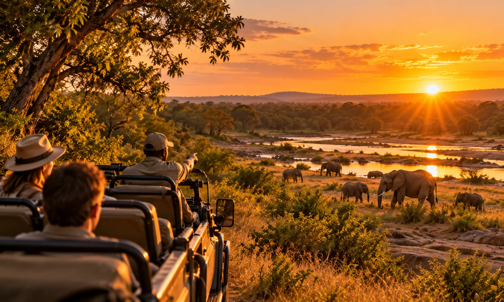
A guide’s perspective at dawn and after darkSANParks-led morning, sunset and night drives subject to booking, times and minimum age. Self-driving outside camp gate hours is not permitted.
📷 Take a fast telephoto lens; ask your guide how to avoid disturbing animals.
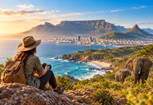
Image transparency: the hero and all experience cards use newly generated editorial AI imagery to represent each Lower Sabie experience; they are not documentary photographs of the site or records of specific real sightings.

More than the Big Five: birds, reptiles and riverside life.
The Sabie River and Sunset Dam are classic hippo and crocodile habitats and attract fish eagles, herons, storks and kingfishers. Leopards may hide in trees while herds move through nearby clearings. Never feed wildlife or leave your vehicle outside designated areas.
Leopard · hippopotamus · lion · Goliath heron · giant kingfisher. Species to seek, not guaranteed encounters.
Premium wildlife sighting explorer
Month, time of day, area and safari hours change an editorial opportunity score for each animal. Explore and compare conditions.
Configure your wildlife-watching day
These are comparative opportunity scores (0–100) based on editorial assumptions about habitat, broad seasonality, crepuscular activity and viewing effort. They are NOT measured sighting rates, scientific percentages or actual chances of encountering animals. SANParks does NOT publish these scores; wildlife cannot be guaranteed. Never use this estimate for safety decisions.
Read the scoring methodology
Each species starts with an unobserved editorial reference index; moderate seasonal, location and time factors are applied, along with a diminishing-return hours factor. Scores are capped to 0–100. Change controls to see how assumptions affect outputs. No real-time or verified sighting records are used.
Premium Big Five calculator
This second calculator focuses only on elephant, buffalo, lion, leopard and rhinoceros. It combines month, time window, area and observation hours to produce a comparative score per species and an editorial reading of the whole set.
Individual and combined indices are editorial mathematical simulations, not measured sighting rates. The combined index assumes unproven independence and is not an actual probability of seeing 1, 2, 3, 4 or 5 species. Protect rhinos by never sharing precise locations.
One, two or three days: choose your pace
Flexible suggested itineraries, not confirmed gate schedules. Check current gate hours, road access and guided activities first.
- Camp opening↗
Sunset Dam
Watch water activity from permitted spots in the first light.
- Late morning↗
Lower Sabie Rest Camp
Breakfast and relaxed river-and-bird watching from inside camp.
- Late afternoon↗
H4-2
Enjoy a short southern drive, returning ahead of camp closing.
Stock photography & video
Soft light at Sunset Dam, riverside landscapes, waterbirds and herds. For commercial-purpose shoots, check SANParks filming and photography permit requirements first.
Birdwatching
Waterbirds at Sunset Dam are a highlight; Nthandanyathi on S28 adds a dedicated bird hide when accessible.
Responsible driving
Obey 50 km/h on tar and 40 km/h on gravel, remain in your vehicle outside authorised stops and return well before gate closing.
Lower Sabie and routes toward Skukuza and Crocodile Bridge
The camp marker uses SANParks official coordinates. Roads, dams and hides without confirmed coordinates use linked Google Maps searches, with no invented location pins.
Official rest camp along the Sabie River.
Google Maps ↗Interactive map with Google Maps links for each listed experience.
Stay above the Sabie and plan at a relaxed pace
Flooding, rain and repair works may affect roads and hides. Check S28, H4-1, H4-2, Mlondozi and Nthandanyathi access and gate hours with SANParks before driving.
SANParks · Kruger ↗Accommodation & facilities
Lower Sabie provides accommodation, camping, restaurant, shop, fuel, pool and day-visitor area. Facilities vary by unit and may change.
Getting here
Crocodile Bridge Gate is around 34 km from Lower Sabie. SANParks recommends allowing roughly two hours to reach camp, before extended sightings stops.
Gate times
Gate hours change by month. The calculator displays SANParks seasonal reference hours for park entrance and for leaving the rest camp.
Dry versus wet season
Southern winter often brings less dense vegetation, while summer rain brings lush landscapes, young animals and migrant birds. Sighting opportunities still vary widely.
Birds and hides
Sunset Dam is about 1 km away and Nthandanyathi about 11 km. Mlondozi and Nkuhlu are nearby picnic stops, with access and services to be checked before travel.
Safety and photo ethics
Respect habitats, never feed wildlife or publish precise rhino coordinates, and check SANParks commercial photography rules.
+27 (0)13 735 6056/7
From the Sabie River to the great Kruger journey.
Link Lower Sabie with the Kruger route guide, Satara and other rest camps.
Official sources & transparent methodology
Camp features, distances, birdlife, gate times and GPS cross-checked against SANParks. Illustrative imagery. The calculators use editorial indices and a theoretical Big Five combination model; they contain no actual sightings data or scientifically measured probabilities. Always verify access, times and permits.
SANParks · Lower Sabie Rest Camp ↗ SANParks · Birds ↗ SANParks · Bird hides ↗ SANParks · Gate times & day visits ↗ SANParks · Official GPS ↗ SANParks · Driving times ↗ SANParks · Guided safaris ↗ SANParks · Photography permits ↗